photoblogography - Just some stuff about photography

La Magliasina

going with the flow

in Photography in Ticino , Thursday, March 14, 2019

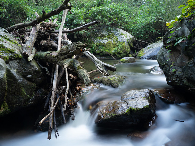
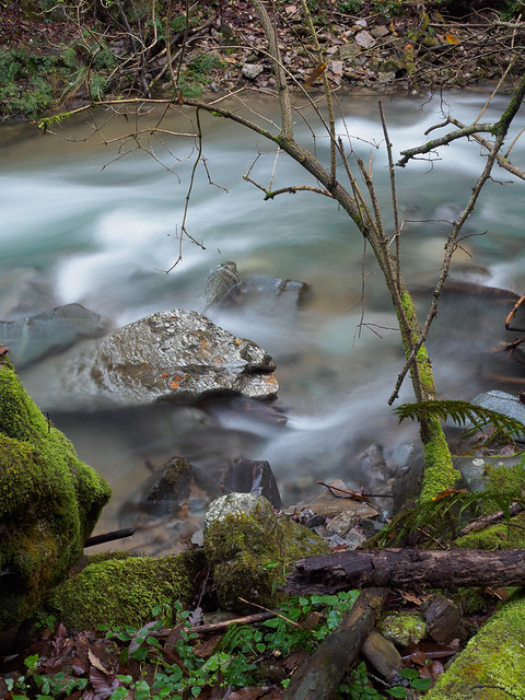
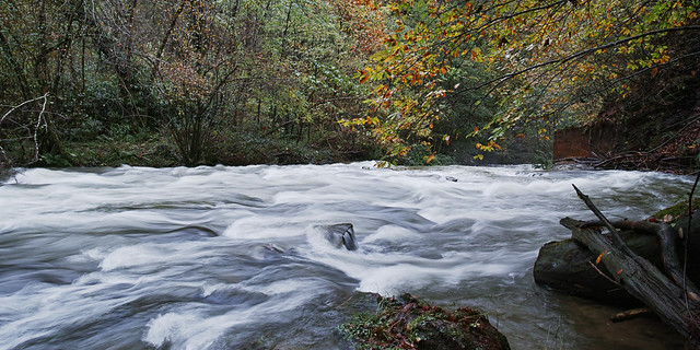
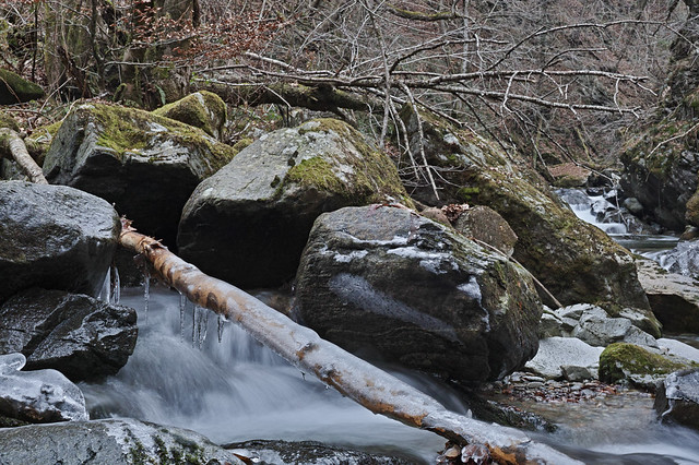
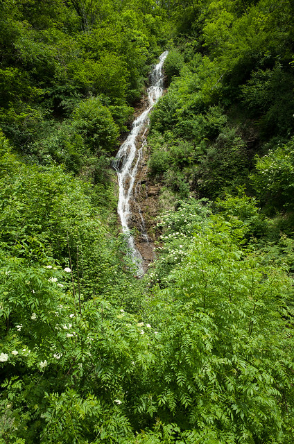
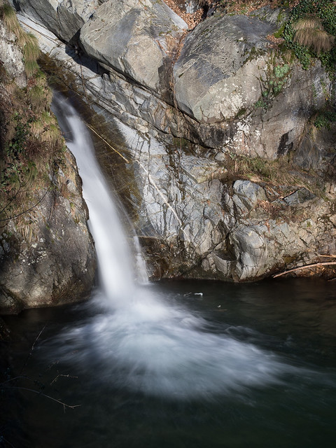
The Magliasina is a short, scrappy, torrential river which emerges on the slopes of Monte Gradiccioli in the Malcantone region of Ticino, and 15km later drains into Lake Lugano. At its mouth, it marks the boundary between the villages of Caslano, and of Magliaso, where I live, and which gave the name to the river.

Drm 20181010 EM1S5962

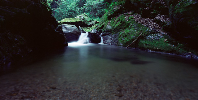
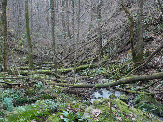
For most of its length it is hidden from sight at the foot of a deserted, steep sided narrow valley. There are a few crossing points where bridges have been built to allow paths to join the two sides of the valley, but mainly the river is heard, not seen.  I’ve been exploring it bit by bit for quite some time. I’ve largely moved on from the more easily accessible spots and, based on large scale topographic maps tried to work out where there might be interesting hideaways. Although such spots might sometimes be approached by following deserted, disappearing paths, reaching them almost always involves some serious off-piste traversing.

Drm 20181114 EM540018

Sometimes I strike gold, sometimes not, but more than once I’ve ended up with more of a scramble on my hands than I bargained for. In a few cases I’ve been forced to question my sanity. In some parts the valley side is very steep, and the soil is unstable. It also tends to be covered in vicious undergrowth in summer, and treacherous rotting tree trunks and branches all year round.  If photos were graded by the physical difficulty in taking them, I’d have quite a portfolio by now.

Throttle

In the lower reaches the valley is much broader, but even more strangled by undergrowth. Now and again I come across signs that in earlier times, the area was actually inhabited, partly farmed, and the river was a focal point. Today few people seem to realise it even exists.  Oh, there are rock pools here and there which are clearly the treasured secrets of teenagers looking for a summer hideaway.  And there are a few easily accessed and popular areas such as the Maglio del Malcantone, but largely the river keeps well away from view.

Overflow

It’s become a bit of an obsession, but unlike my other obsessions, it is within walking distance of my front door. So far I’m continuing to make new discoveries, and there are more to be found. For example, the ruins of a 100 year old hydroelectric plant lurk somewhere in the woods. I think I know where, but it’s a stretch I haven’t explored yet. And I haven’t started on the high upstream section.

Drm 20181216 SDQH0032

Probably it isn’t all that sensible to go off exploring like this on my own, but nobody seems interested. Every now and again I am reminded that while Switzerland is a very safe place from a society point of view, nature here can be pretty bloody dangerous. I should probably invest in a rope. And a loud whistle.

Drm 20181128 EM580028

You can see more, if you want, in my Magliasina album on Flickr.

Posted in Photography in Ticino on Thursday, March 14, 2019 at 08:09 PM • PermalinkComments ()

Exploring Malcantone

up in the bad lands

in Photography in Ticino , Friday, May 27, 2016

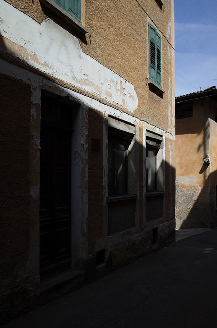
I’m very lucky to have lived for most of this century in the region of Malcantone, right at the southern tip of the Italian-speaking canton of Ticino, in Switzerland. Malcantone is mainly pre-alpine, apart from the Vedeggio and Magliasina flood plains, and sits between the Lugano (Ceresio) and Maggiore lakes. It borders on a similar region in Italy, and is actually a pretty beautiful area. It does have a certain level of tourism, but I’m always surprised at how little. With quiet, wooded hills leading up to mountain ridges, shaded valleys, rustic villages full of memories of faded glories, and plenty of history, along with good food and wine, it has a lot going for it.

drm_2015_01_06_P1061951.jpg

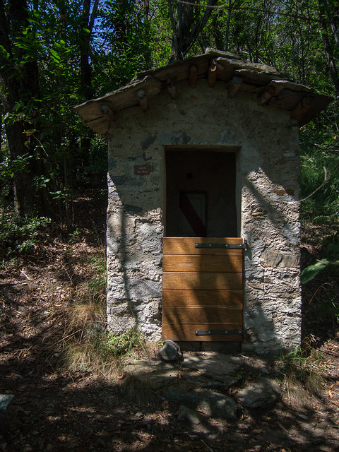
Malcantone pretty much means “bad lands”, and was a place to be avoided in medieval times. Unfortunately, that was tricky, as it was either that, or the plague-ridden marshes, if you wanted to travel north from Milan. A couple of years ago I discovered the ruins of the Miglieglia Castle, perched on a high outcrop over the Magliasina river. Although it was clearly pretty big, it seems to have been wiped from memory. Nobody appears to know anything about it. You can walk to it, if you follow the “Sentiero delle Meraviglie”. And then there are the silver and gold mines. And the remains of houses and villages deep in the woods. And the painfully photogenic villages of Sessa, Astano, Breno, and more.

drm_GR II_20160526_R0000026.jpg
drm_2013_08_15__EP33672.jpg

I guess it’s just a little too far off the beaten track, although considering in has a small, but international, airport (just) with its territory, and is easily accessible from the city of Lugano, it’s hardly remote. Probably Swiss pricing has a lot to do with it as well. But also the weird Swiss, and especially Ticinese, approach to tourism. Bars and restaurants close on Sundays and holidays, facilities like the Lema cable car which takes you up to a stunning viewpoint over Lake Maggiore stop running at 5pm, even in summer when it’s light until 10. Totally crazy.

Oh well, if it were different I’d be ranting about bloody tourists all over the place sticking their tripods in front of me and clogging up the roads and mountain bike tracks.

drm_GR II_20160526_R0000051.jpg
drm_2015_01_06_P1061919
drm_2013_08_15__EP33638.jpg
Posted in Photography in Ticino on Friday, May 27, 2016 at 06:27 PM • PermalinkComments ()